
Stage n.26 WILD
Lago Ampollino – Gariglione
Area
Sila piccola – Province di Crotone e Catanzaro
Difficulty
E
Distance
18,5 km
Travel time
6 – 9 hrs
Start
Chiesa Ardorini – Trepidò (Cotronei)
Finish
Rifugio Grandinetti (Monte Gariglione)
Difference in altitude
↑ 949m ↓ 662m
Accessible
All year round
Springs and fountainheads with waypoint
The only chance for water supply is around 6km from the starting point, in the proximities of Chiesola Diruta.
River/fiumare crossing (waypoint)
Tacina
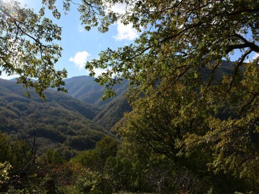
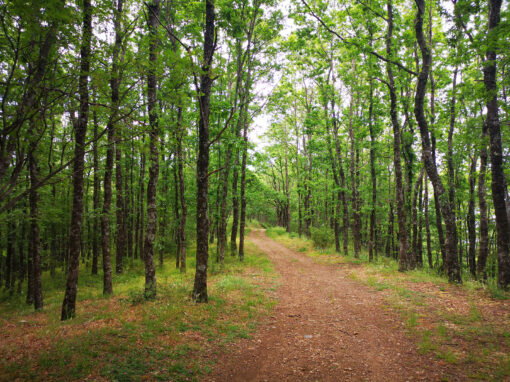
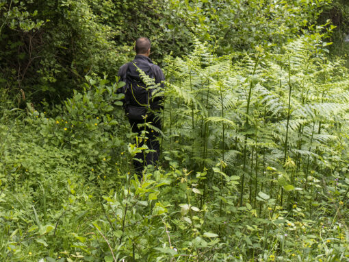
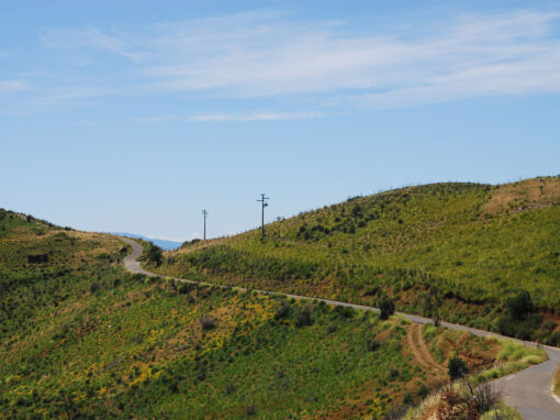
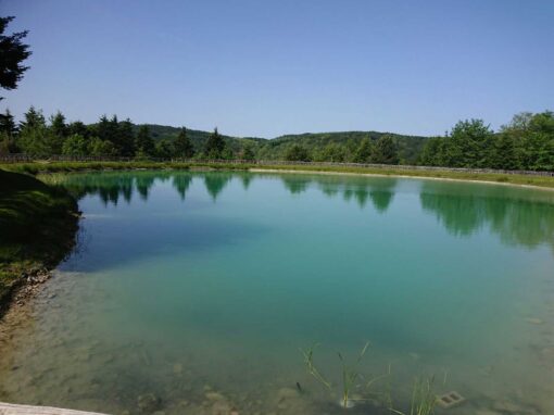
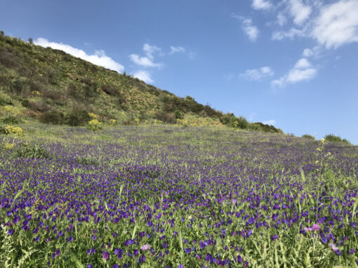
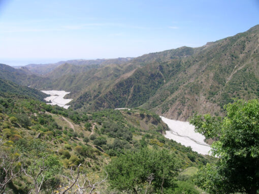
From Lago Ampollino to Gariglione, the highest mountain of the Sila Piccola: a stage filled with the scents of undergrowth, stunning centuries-old white fir and beech trees, blooming season in the valley of the Tacina river and many records of the presence of ancient Basilian monks.

Piciaro’s Waterfall
From Lago Ampollino to Gariglione, the highest mountain of the Sila Piccola: a stage filled with the scents of undergrowth, stunning centuries-old white fir and beech trees, blooming season in the valley of the Tacina river and many records of the presence of ancient Basilian monks.

Piciaro’s Waterfall
Area
Sila piccola – Province di Crotone e Catanzaro
Difficulty
E
Distance
18,5 km
Travel time
6 – 9 hrs
Start
Chiesa Ardorini – Trepidò (Cotronei)
Finish
Rifugio Grandinetti (Monte Gariglione)
Difference in altitude
↑ 949m ↓ 662m
Accessible
All year round
Springs and fountainheads with waypoint
The only chance for water supply is around 6km from the starting point, in the proximities of Chiesola Diruta.
River/fiumare crossing (waypoint)
Tacina

Rifugio Grandinetti Grangia Timpone Guardiola
Route
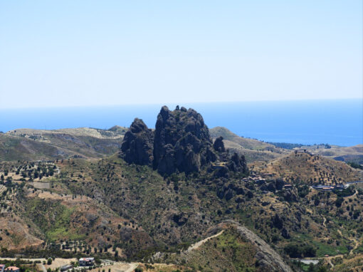
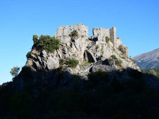
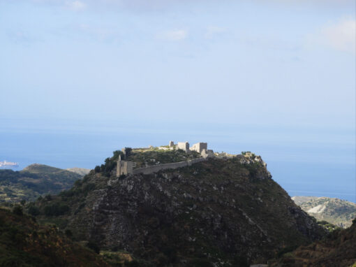
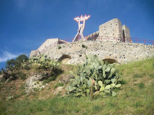
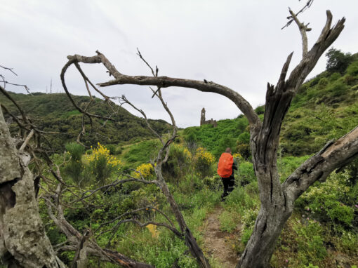
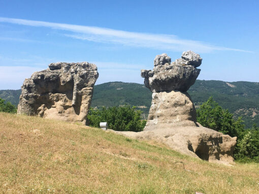
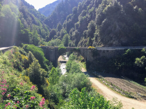
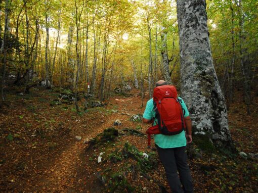
The wild stage takes hikers pass the ruins of the monastic grange of Sanduka (under the jurisdiction of the Abbey of Calabromaria di Altilia), the Chiesiola Diruta, the Timpone Guardiola and u Cummieantu: all clear, tangible records of the presence of Basilian monks on the territory. The trail charms visitors with scents of undergrowth, blooming season in the valley of the Tacina river, the picturesque waterfall of Piciaro and mixed forests with stunning centuries-old white fir and beech trees (characteristic vegetation of the Gariglione-Pisarello natural reserve).
Brief historical overview
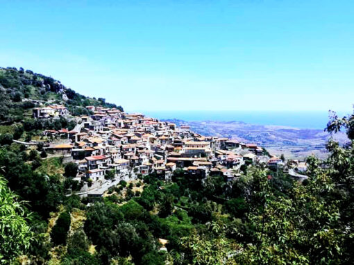
Il villaggio Trepidò è una frazione del comune di Cotronei (KR) nato durante la realizzazione del Lago Ampollino alla fine degli anni Venti del secolo scorso. Inizialmente era un villaggio di sole villette ad uso degli operai che lavoravano per la costruzione della diga; subì un forte sviluppo negli anni successivi alla fine della seconda guerra mondiale, attirando turisti affascinati dal suggestivo lago.

Gariglione Barrack
Norman Douglas, writer of the book “Old Calabria”, describes Gariglione as “an authentic urwald or virgin jungle, untouched by mankind.” .We recommend a visit to the ex Forest Rangers’ station, founded on the same site of “Casina dei Tedeschi” (starting point of many different trails).

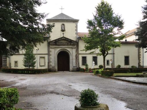
Derelict church
Map and elevation profile
Further information
Guide of reference for the stage: Giovanni Vizza +39 320 8292222
[Petilia Policastro]
Pro Loco Petilia Policastro – web: www.facebook.com/groups/117928038232129/
Comune Petilia Policastro – tel. +39 0962 433801 – web: comune.petiliapolicastro.kr.it
Where to sleep
[Zagarise]
Hut – CAI Leone Grandinetti – tel. +39 347 8051252 – Pino Mancuso – tel. +39 377 4626131 – Marco Garcea +39 347 8051252 – mail: info@caicatanzaro.it
(to eat: catering Pecora Nera +39 339 4222531 n.b. 7 Km continuing the walk to the next stage; catering staying in the hut by booking for dinner)
Where to eat
[Buturo (Gariglione-Sersale Stopover)]
Restaurant – Locanda La Pecora Nera Albi – tel. +39 339 4222531 – mail: info@villaggiobuturo.com
Under the patronage of

Comune Cotronei
With thanks to Regione Calabria for the Contribution to the project.
Last update: 2025-05-22
Continue your journey on the trail
































Contact us
Why are we asking you to solve this? To make sure you are human and to avoid being swamped with spam. Thanks for helping us!
Project realised with the contribution of Regione Calabria
Project realised with the contribution of Regione Calabria

