Stage n.16
Paludi – Cropalati – Longobucco
Area
Sila Greca
Difficulty
E
Distance
28,5 km
Travel time
8-10 ore
Start
Paludi
Finish
Longobucco
Difference in altitude
↑ 880m ↓ 480m
Accessible
All year round
Springs and fountainheads with waypoint
No
River/fiumare crossing (waypoint)
No
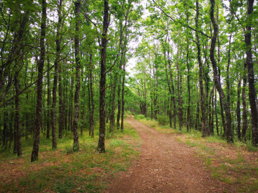
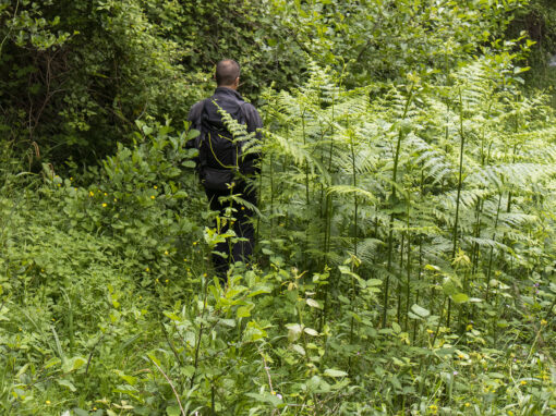
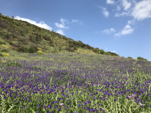
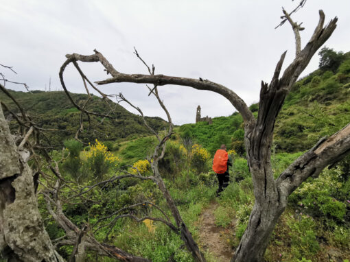
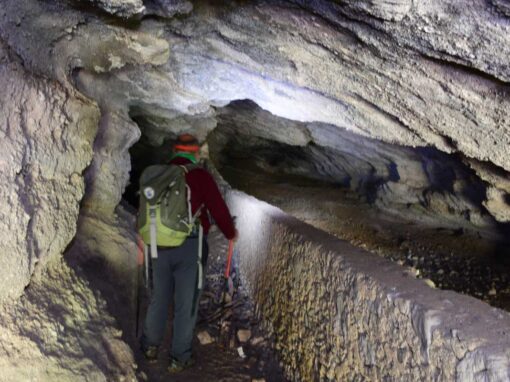
Many sites surrounded in the sacred silence of Basilian monks, among mountain crags, valleys and lush vegetation of chestnuts and holly oaks: of particular interest is the area of Cropalati, characterised by the many tuff caves carved by monks to create a shelter and a place for prayer. The stage is further enriched by the archaeological site of Castiglione di Paludi; the Byzantine fresco on the tuff cave walls of Chiesa di Santa Maria ad Gruttam (XI-XII century); the bath in the “vurga” of the Coserie stream; the side chapels along the Trionto, also featuring “sanzi” (extraordinary rocky gorges) along its banks, and the handmade textiles of Longobucco – a Medieval village identified by some historians as Temesa, the ancient city rich in mining quarries quoted by Homer.

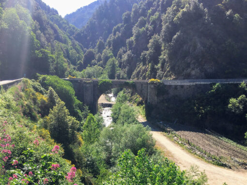
Trionto Bridge
Many sites surrounded in the sacred silence of Basilian monks, among mountain crags, valleys and lush vegetation of chestnuts and holly oaks: of particular interest is the area of Cropalati, characterised by the many tuff caves carved by monks to create a shelter and a place for prayer. The stage is further enriched by the archaeological site of Castiglione di Paludi; the Byzantine fresco on the tuff cave walls of Chiesa di Santa Maria ad Gruttam (XI-XII century); the bath in the “vurga” of the Coserie stream; the side chapels along the Trionto, also featuring “sanzi” (extraordinary rocky gorges) along its banks, and the handmade textiles of Longobucco – a Medieval village identified by some historians as Temesa, the ancient city rich in mining quarries quoted by Homer.
Trionto Bridge
Area
Sila Greca
Difficulty
E
Distance
28,5 km
Travel time
8-10 ore
Start
Paludi
Finish
Longobucco
Difference in altitude
↑ 880m ↓ 480m
Accessible
All year round
Springs and fountainheads with waypoint
No
River/fiumare crossing (waypoint)
No

Ex centrale elettrica di Longobucco
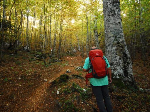
Route
Brief historical overview
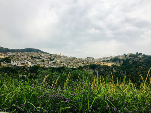
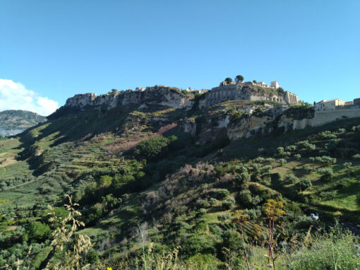
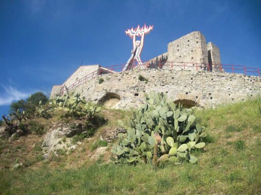
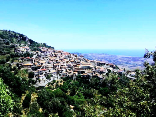
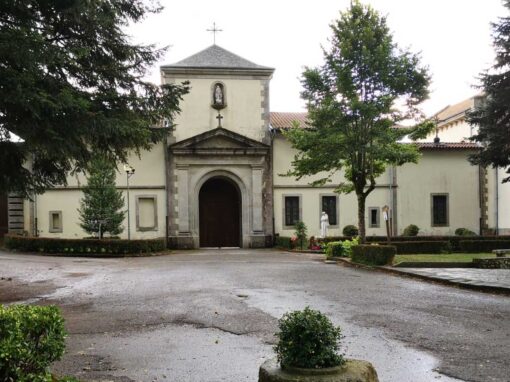
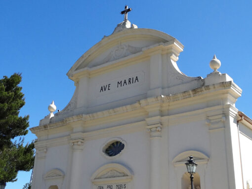
Paludi is a small village of Eastern Greek Sila 430 m above sea level. It was part of the territory of Rossano for most of its history. In the city centre of Paludi are a number of churches of particular historical and artistic value such as: the Chiesa Madre dedicated to San Clemente (Patron Saint, celebrated on the 23rd of November), the Chiesa dell’Immacolata Concezione, the Chiesa della Madonna del Soccorso and the Chiesa di S. Antonio. The latter is knowns as Sant’Antonio (even though consecrated as “Santa Maria di Nazareth”) due to the presence of the simulacrum of the Saint venerated by the citizens of Paludi. It is highly recommended to pay a visti to the archeological site of Castiglione di Paludi, important Bruttian fortress or Greek city, potentially founded by king Alexander I of Epirus. Among some of the tastiest local dishes are the maccarrun alla pastora, anice biscuits, the scaliddri (sweet honey-glazed sticks), the trippa ccu lu sucu juschent (pork tripe seasoned with spicy sauce).

Veduta su Paludi
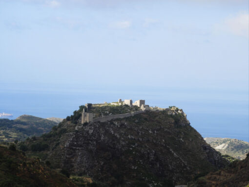
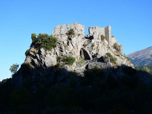
The area of Cropalati (often visited throughout the centuries by a variety of Italian indigenous civilisations, as attested by recent archeological studies) is rich in many tuff caves, carved by monks to create shelters and places for prayer. At the beginning of the XIV century, the city centre begun to develop around the feudal castle, whose ruins are still visible to this day in the highest part of the village. Among the main point of interests worth a visit are: the Chiesa Matrice consecrated to S. Maria Assunta (XVII century), in the village where Beato Bernardino Otranto was born (confessor of S. Francesco da Paola); the Chiesa dell’Annunziata, known today as “del Rosario”, with annexed the ex-Convento dei Domenicani (featuring an 18th century painting of ”Ecce Homo”, an altar in corinthian style with a wooden polyptych illustrating the “Annunziata e il Mistero della Passione”); the Chiesa di S. Antonio Abate; the Chiesa di S. Maria ad Gruttam, with annexed the ruins of the ex-Convent (featuring a Byzantine icon of the Virgin with Child, frescoed on the wall of a tuff cave); the Palazzo Amantea; the sculptures of Baccelli in the ex Sala Consiliare.

Longobucco: Santa Maria della Mercede
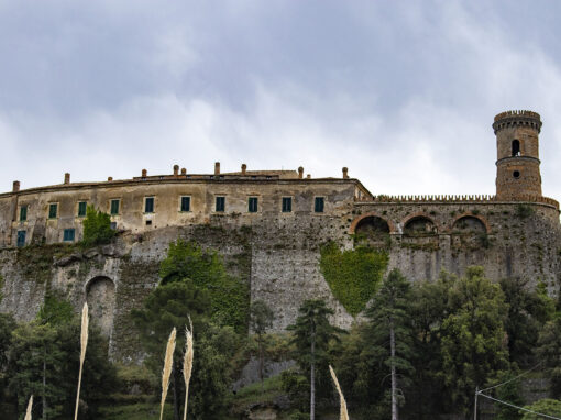
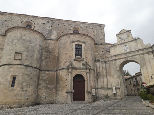
The name Longobucco derives from the latin longa bucca (long cave/cavity), with references to the gorge of the Trionto stream. Some historian identify Longobucco with Temesa, the ancient city rich in mining quarries mentioned by Homer in the first book of the Odyssey. Both the citizens of Sibari and Crotone, during Magna Gaecia times, made use of the silver quarries of Longobucco for coin minting. Even Gioacchino da Fiore paid a visit to the Silan village in order to produce a series of stem glasses. The first records mentioning the Argentera (local name for the mining quarries) date back to the XII century. The work at the quarries intensified during Angevin domination, but declined once again in the second half of the XVII century. At the beginning of the 17th century a group of German miners took over the mining quarries and kept them active until 1783.
The Torre Civica of the XI century in the city centre has been converted to a bell tower and it is known locally as U Campanaru. Also worth a visit are the Chiesa Matrice, dedicated to S. Maria Assunta (featuring a collection of religious artefacts), and the churches of S. Maria Maddalena, S. Maria delle Grazie and dell’Addolorata. Many side chapels along the Trionto River, with sanzi (extraordinary rocky gorges) running along the banks. The village is renowned for the precious local craftsmanship of handmade textiles: for a deeper analysis on the subject, we recommend a visit to the Museum of Weaving. Among some of the most traditional dishes are: i ferriatti e grastatu (handmade fusilli with ragù), the sacchiattu (a “bag” of pork made with its own intestines), i vermiciaddi (fresh vermicelli pasta with pork meat ragù), i tagghjarini (tagliatelle), the carriciaddi (pita bread stuffed with sardedda, elder flowers), i fritti a biantu (sugar coated fried biscuits), the curpinedde (Christmas cakes stuffed with jam, raisins and nuts).

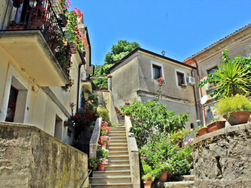
View onto Longobucco
Map and elevation profile
Further information
Guides of reference for the stage: Flaviano Lavia +39 339 5290644 – +39 0983 522331 and Domenico Flotta +39 380 7948403
[Longobucco]
Comune Longobucco – tel. +39 0983 72505 – web: www.comune.longobucco.cs.it – mail: affarigenerali@comunelongobucco.eu
Pro Loco Longobucco – tel. +39 389 7814031 – web: www.prolocolongobucchese.it – mail: info@prolocolongobucchese.it
Where to sleep
[Longobucco ]
Scattered hotels – La casa di Noa – tel. +39 380 7948403 – mail: m.flotta@libero.it
Where to eat
Extra: not verified
[Longobucco ]
Farmhouse – Agriturismo il Biscardino – tel. 39 393 7878012
Under the patronage of

Comune Longobucco
With thanks to Regione Calabria for the Contribution to the project.
Last update: 2025-05-22
Continue your journey on the trail


Contact us
Why are we asking you to solve this? To make sure you are human and to avoid being swamped with spam. Thanks for helping us!
Project realised with the contribution of Regione Calabria
Project realised with the contribution of Regione Calabria